Geography
At Thurcroft Junior Academy we believe that Geography should help to provoke and provide answers to questions about the natural and human aspects of the world. Children are encouraged to develop a greater understanding and knowledge of the world, its interconnectedness and their place in it. The geography curriculum at Thurcroft enables children to develop knowledge and skills that are transferable to other curriculum areas and which can be used to promote their spiritual, moral, social and cultural development.
At Thurcroft, we believe that Geography is an investigative subject which develops an understanding of concepts, knowledge and skills. The curriculum is designed to ensure that teaching equips pupils with knowledge about diverse places, people, resources and natural and human environments, together with a deep understanding of the Earth’s key physical and human processes.
As pupils progress through school, their growing knowledge about the world helps them to deepen their understanding of the interaction between physical and human processes, and of the formation and use of landscapes and environments. We seek to inspire in children a curiosity and fascination about the world and its people which will remain with them for the rest of their lives, equipping them well for the next stage of their learning.
The units are mapped against progression documents in line with the National Curriculum to ensure that learners develop detailed knowledge and skills across the full breadth of the Geography curriculum through engaging and age-appropriate curriculum content.
KS2 National curriculum - Click here
EYFS curriculum - Click here
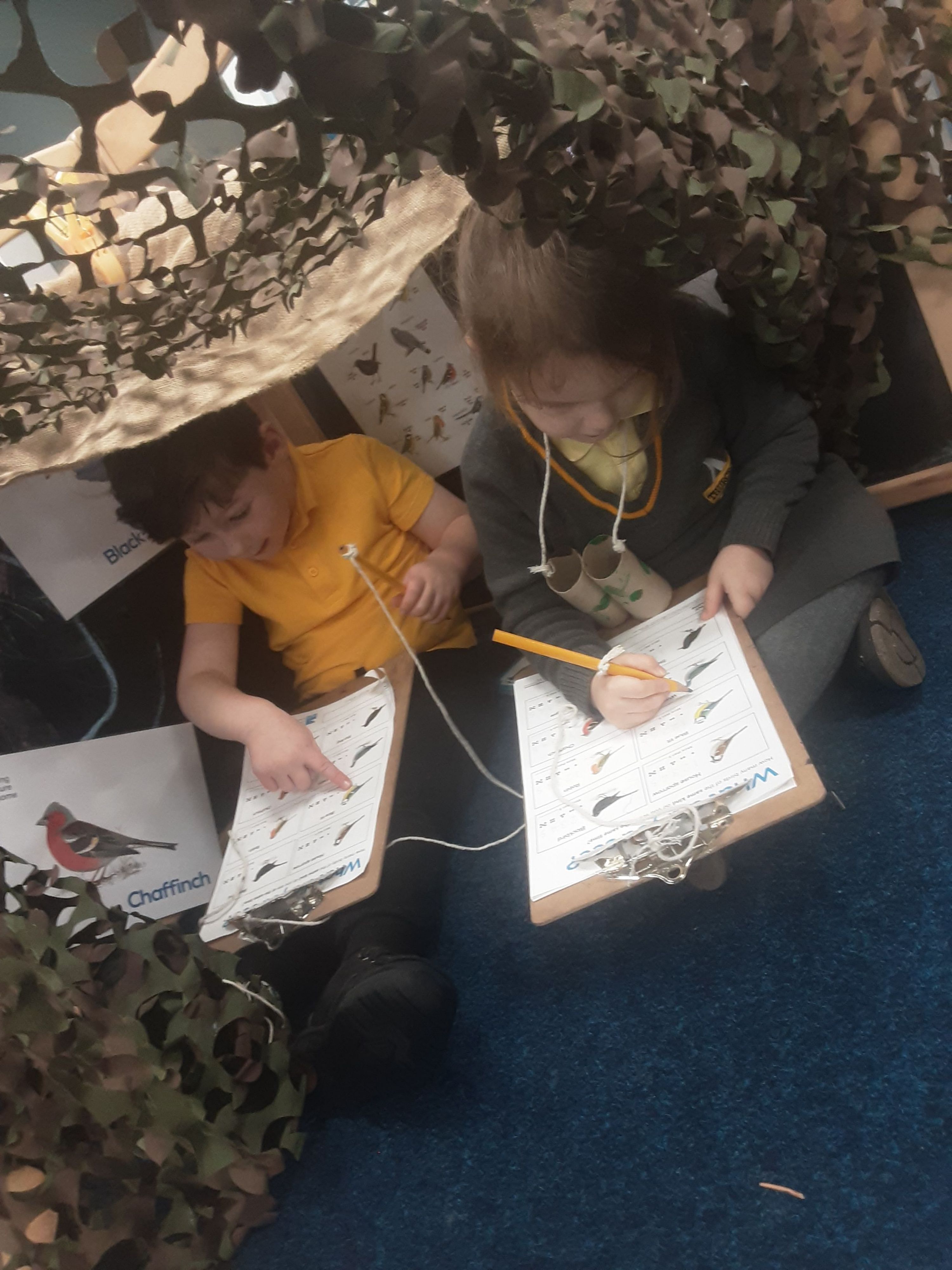
Eco Schools 23/24
This year we will be working towards to Eco School Green Flag award and be part of the Rotherham rewilding project.
https://www.eco-schools.org.uk/
More information and photos to follow.
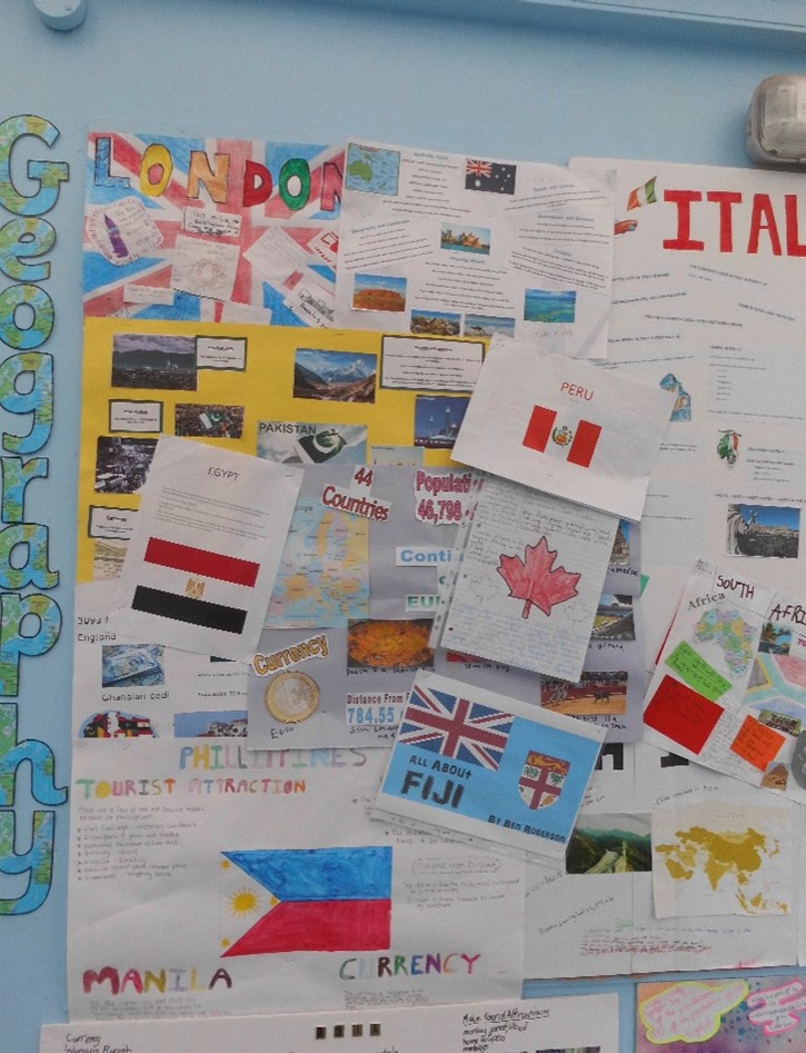
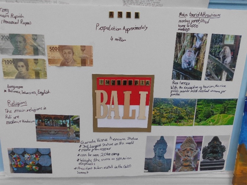
The school Geography project 22/23
Each year we have a Geography school project, in 22/23 the children participated in the Geography School Project. This was an opportunity for children to learn more about different continents, countries and expand their overall locational knowledge. Each class was given a different continent, and they had to choose a country within that continent and research information such as its population, currency and how many miles it is away from Thurcroft. At the end of this project, the children gathered in a special assembly to showcase and celebrate all of their hard work which they thoroughly enjoyed.
|
Useful links Here are some useful links that can be accessed at home. National Geographic - click here BBC Bitesize - click here Topmarks Geography - Click here
Books that link to Geography - EYFS -
Y3 -
Y4 -
Y5 -
Y6 -
|